The deadline for correction applications concerning the provisional cadastral tables and maps has been extended to Monday, 3 August 2026 for covered areas in the Regional Units of Heraklion, Chania, Lesvos and Limnos. According to the announcement checked on 22 July 2026, the same date applies to obvious-error applications in those areas.
The extension gives owners a few more days, but it does not change the essential task: compare the Posting record with the ownership documents and the actual property. If every entry is correct, no application is required. If there is an error, the owner must determine whether it is a simple obvious error or a substantive correction that needs supporting documents and possibly technical evidence.
The extension at a glance
- New deadline: Monday, 3 August 2026.
- Areas: cadastral zones in the Heraklion and Chania Regional Units in Crete and in the Lesvos and Limnos Regional Units in the North Aegean.
- Applications: corrections to the Posting and obvious-error corrections.
- Access: online with Taxisnet credentials or, where available, by appointment with the competent Cadastral Survey Office.
The announcement covers specified local authorities rather than every property in the four regional units. It includes areas in the municipalities of Heraklion, Malevizi and Hersonissos; areas in Chania and the municipalities of Apokoronas, Kantanos-Selino, Kissamos, Platanias and Sfakia; the municipalities of Limnos and Agios Efstratios; and specified areas in Western Lesvos and Mytilene. Owners should confirm that their property belongs to an active Posting area.
How to check the cadastral Posting
- Sign in to the Hellenic Cadastre service with Taxisnet credentials. A declaration must generally have been filed and the right located.
- Select the cadastral area and open each property right separately.
- Download the cadastral table and verify the holder, right, ownership share, deed and registration details.
- Open the cadastral map extract and inspect the location, shape, boundaries and area.
- Compare the record with the deed, registration certificate, survey plan and the actual location.
- Save the files and the final submission receipt. A draft application is not a filed application.
Obvious error or correction application?
An obvious error is clear from the available record and does not require a substantive dispute over ownership or boundaries. Official examples include an incorrect patronymic, deed or registration number, floor, or area of a divided property. The online obvious-error application is free.
A correction application is required when the problem affects ownership or geometry: a wrong plot area or boundary, displacement of the property, an omitted right, or another person shown as owner, bare owner or usufructuary. The official Posting service states that the application requires supporting documents and a EUR 5 fee.
Documents to prepare
The evidence depends on the requested correction. A practical file may include the deed or other title, registration certificate, inheritance documents, the original cadastral declaration and receipt, an identity or civil-status document, and any record that links the title to the property. Boundary, location or area disputes may also require a survey plan, coordinates and a surveyor's technical report. Documents should be complete and legible.
If the wrong owner is shown
A typographical error in the correct holder's name may be an obvious error. A different person shown as owner, or an omitted ownership right, is normally a substantive correction. The applicant should identify the claimed right, the title by which it was acquired and the entry that should change. If the requested change may displace a recorded holder, special notification and response rules may apply.
If the area or boundaries are wrong
A wrong plot area, shifted outline or incorrect boundary is not merely a wording mistake. The owner should describe the requested geometric change and support it with the title, survey material and, where necessary, a surveyor's report. The issue is not only the number of square metres; it is also whether the outline affects a neighbouring property, road, common area or land described in the title.
If the deadline is missed
Missing the deadline does not automatically mean losing the property. It does mean losing the simpler Posting-stage correction route. The Hellenic Cadastre warns that later correction may become more complex, expensive and time-consuming and may, depending on the error and the stage of cadastral operation, require administrative or court proceedings. Anyone who identifies a problem after 3 August should contact the competent office promptly and obtain individual legal or technical advice.
Final submission check
- Did you select the correct property, right and cadastral area?
- Does the request identify the exact wrong field or boundary and the requested correction?
- Is every statement supported by a complete, legible document?
- Has a surveyor checked any geometric issue?
- Was the final submission completed and its receipt saved?
Official sources
- Hellenic Cadastre: Posting and correction applications
- Gov.gr: cadastral Posting service
- Announcement of the extension and covered areas
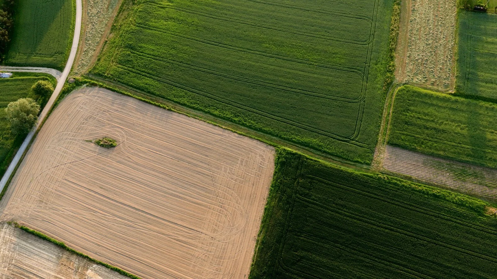
Photo: Marta Bernal via Pexels. The image is illustrative and does not show a specific property or Posting area.
This article was checked against sources available on 22 July 2026 and provides general information. It does not replace an individual review of deeds, maps and facts by a lawyer or surveyor. Confirm the active deadline and area in the official Hellenic Cadastre service before filing.

![C-26/25 [Bukla]: Return, Family Ties and Classified Information](https://nomika-epilekta.gr/uploads/articles/covers/article-20260830-bukla-classified-return.webp)
Comments
Share your thoughts about this article.
No comments yet. Be the first to comment.
Submit a comment